Mapping Utah Avalanches |
Mapping Utah Avalanches |
|
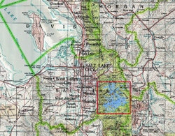
The area of study is reserved to the Wasatch range to the southeast of Salt Lake City, Utah. The other data I was planning on using for this study is unavailable for public dissemination. And due to time restraints, I will not be able to analyze this data as thoroughly as I would have liked to or was planning on. I will update as time permits. Study Area Locator Map
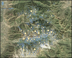
This map is showing avalanche path data with graduated circles per sq. ft. of area.
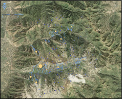
This map is showing path data by length with proportional symbols and those symbols are excluding return intervals of less than frequent.
This map is showing path length data by proportinal symbols. 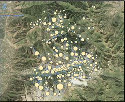
This is a map showing path length data with graduated symbols. |
|
Page Created by Patrick Gorman, Last Updated 05.08.14
|